
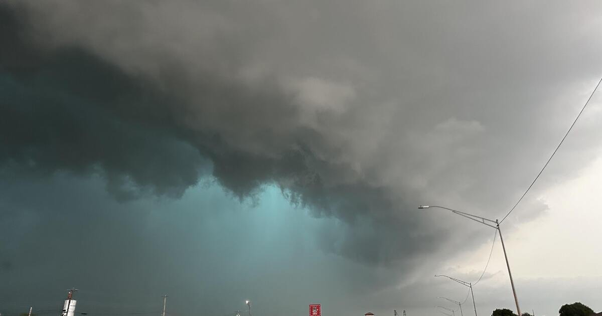
Springtime brings warmer weather, longer days and nature’s awakening across much of the country. It also brings higher chances for tornadoes, large hail, flash floods and damaging winds — and that means more alerts about threatening forecasts, which often come in the form of watches and warnings. There is a distinct difference between the two, particularly when it comes to what they mean about taking action when the weather takes a turn for the worse.
Conditions in spring are more favorable for these severe weather events, which happen more frequently and with greater intensity.
What’s the difference between a watch and a warning?
CBS News

A watch is usually issued by the National Oceanic and Atmospheric Administration’s Storm Prediction Center, or SPC, hours ahead of a storm system. A watch is intended to alert people in affected areas to monitor weather conditions and stay informed about forecasts. They are issued over a larger area that could span numerous counties or states.
No matter what type of watch is issued, such as a severe thunderstorm watch or a tornado watch, they urge people to be prepared to act quickly.
A warning is more urgent and calls for action to be taken immediately. It is issued by the nearest National Weather Service office when a severe weather event has either been spotted by someone on the ground or indicated on radar. They are issued for a much smaller area, like a city or small county.
If a tornado warning has been issued for your area, get into the lowest level of a building, find the most interior room with as many walls between you and the outdoors as possible, and cover your head.
No matter the threat level, always take caution when severe weather is expected in your area.
How meteorologists monitor severe weather
Specialists at NOAA’s Storm Prediction Center monitor severe weather and can issue forecast outlooks days in advance.
They use a 1-5 rating system to categorize severe thunderstorms, with 1 indicating a “marginal” threat with isolated storms possible, and 5 indicating a “high” threat that includes widespread, damaging winds and/or a tornado outbreak.
CBS News

The SPC issues these severe storm outlooks over the continental United States as far in advance as eight days ahead of a storm. They look like large swatches of color on a map of the U.S. and are based off of forecast models for a storm.
Meteorologists analyze the forecast models well ahead of storm systems to look at the atmospheric conditions that may be favorable for issuing any kind of weather alerts. In the case of possible severe storms, they look at where moisture is as well as where cold fronts may track, which would help fuel thunderstorm development. They also consider the speed at which a storm develops and its severity on forecast models to help determine where to issue a severe storm outlook and how high to rate it.
(Note: The map below is an illustration, not a current weather forecast.)
CBS News